We treat streets as corridors. They get us from home to shop, station to office, hotel to attraction. Yet a street is also a historical document laid flat: a decision about where people could move, meet, trade, protest, and bury their dead. Every street has a story because every street was made - and remade - by people answering practical questions under pressure.
The story is not always dramatic. Sometimes it is a drainage problem solved in 1780. Sometimes it is a landlord's greed, a parish boundary, a tram company, or a bomb. Drama is optional. Continuity is not.
Streets are older than their buildings
In many towns, the building stock is mostly nineteenth century or later, while the street plan is older. Medieval lanes survive as narrow dog-legs between later frontages. Roman roads persist as unusually straight suburban arteries. Enclosure-era lanes still organise farmland on the edge of expanding cities.
That means you can walk a modern high street and still be inside an ancient frame. The shops change. The plot widths whisper. Look at the rhythm of façades: narrow plots often preserve older burgage patterns; wide frontages may mark later consolidations or civic insertions.
When a street feels "wrong" for cars - too tight, too angled, too sudden in its turns - you are often feeling a pre-motor logic. That discomfort is historical information.
Names are the first chapter
Street names are the cheapest archive available. They commemorate landowners, trades, pubs, saints, battles, fields, and forgotten topography. "Cheapside" points to markets. "Pall Mall" to games. "Hungate" and similar forms can mark animal markets or processing areas. "Castle Street" may lead to a castle that no longer exists, or never quite did.
Names also lie, or at least age poorly. A "New Street" can be centuries old. A "Station Road" may outlive its station. A romantic "Manor Way" on a 1930s estate may invent heritage rather than inherit it. Read names as clues, then test them against maps and fabric.
Pub names deserve special attention. They often preserve earlier dedications, coaching routes, political loyalties, and local industries. Even when the building is rebuilt, the name can be a fossil.
What lies beneath the pavement
"Beneath our feet" is not only a metaphor. Archaeology regularly finds earlier surfaces under modern roads: cobbles under tarmac, timber under stone, Roman metalling under medieval ruts. Utilities trenches briefly open windows into that stack before they close again.
You will not dig up the high street. You can still notice:
- Changes in level between pavement and building thresholds
- Cellars and coal holes that imply older servicing patterns
- Bridges and culverts where water once ran openly
- Slight ridges or hollows that mark filled ditches and wall lines
Flood history is written in levels too. Streets that dip toward a river or former stream often follow older water logic even when the water is hidden in pipes.
Conflict, ceremony, and everyday traffic
Streets host more than commerce. Procession routes, funeral paths, protest marches, and military musters use the same ground as delivery vans. Some streets are wide because they were markets or parade grounds. Some are crooked because they avoided a powerful neighbour's land or followed a property edge no one could straighten.
Ask of any street: who was allowed to use it, and when? Medieval towns regulated markets and outsiders. Industrial cities regulated traffic and morals. Wartime streets blacked out and barricaded. Each regime left habits - one-way systems, market days, closed alleys - that outlast the original reason.
Buildings as marginalia
If the street is the main text, buildings are marginal notes. A surviving coaching inn marks a travel economy. A run of warehouses marks a goods economy. A terrace of identical houses marks speculative building. A solitary older house among later flats may be the last witness to a demolished streetscape.
Read upper storeys. Ground floors are renovated constantly; upper floors retain older window patterns, brickwork, and painted advertisements. Ghost signs are literal marginalia: commercial history still clinging to brick.
Churches and chapels interrupt the commercial story with a different chronology. Their orientation, churchyards, and surviving walls often predate the shopping street that grew around them.
How to listen to a street in twenty minutes
You do not need a research day. Try this short method on any street that interests you:
- Walk its full length once without stopping, noticing width, slope, and sight lines.
- Walk back slowly, reading every name and every upper-storey detail.
- Find the oldest-looking structure and the newest interruption (a road widening, a plaza, a car park).
- Compare with one historical map later the same day.
- Write three sentences: origin guess, main economic role, biggest transformation.
The fifth step matters. Writing forces you to commit to a story you can revise. Streets teach best when you argue with your first impression.
Location tools help you hear neighbouring chapters
A single street's story connects to the next street's story. A market street needs a warehouse street. A barracks needs a parade ground and a pub district. Isolation is usually an illusion created by modern traffic engineering.
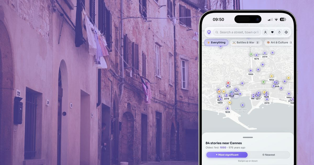
LocoPast helps you hear those neighbouring chapters by pinning events and places to the map around you. Stand mid-street, open the app, and look not only at the pin under your feet but at the cluster within a two-minute walk. Patterns appear: industrial pins along a former canal, religious pins around a vanished court, conflict pins near a gate or barracks site.
Use it as a mid-walk companion rather than a start-to-finish script. Read a story, look at the building, then walk to the related pin. For a vivid urban example, open Highbury and Islington and watch how story density changes as you move from the transport seam into quieter grids. Or explore Edinburgh Old Town, where streets stack history vertically as well as along the pavement.
The politics of which stories get told
Not every street story is celebrated. Some commemorate wealth extracted from empire, slavery, or exclusion. Some erase working-class clearance behind a language of "improvement". Blue plaques and official trails are curated. Absence of a plaque is not absence of history.
When you say every street has a story, include the uncomfortable ones. Ask who was displaced when the street was widened. Ask whose labour built the warehouses. Ask which communities appear in directories and which appear only in police reports or eviction records. Local history that only flatters is incomplete.
Why this changes how you walk
Once you accept that streets are historical documents, walking becomes reading. You slow down at corners. You notice repairs. You feel annoyed by façadism in a productive way. You stop treating "the old town" as a theme park and start treating your own district as a primary source.
That shift does not require special equipment. It requires attention, a few maps, occasional help from location tools, and the humility to revise your story when evidence disagrees.
Begin with the street outside
Tonight, stand at your door or hotel entrance. Look left and right. Ask why the street bends, why it widens, why that building sits forward, why that name persists. Then walk one block as if the pavement were a page.
Every street has a story. Most of them are still under our feet, waiting for someone to read aloud what the stones have been saying all along.